CDASH

  • About
  • Search Tips
  • History of the Architectural Survey
  • News!
  • About
  • Search Tips
  • History of the Architectural Survey
  • News!

Map Overlays
Click features on map for more information.


Shared by Cambridge GIS

Shared by Cambridge GIS

Shared by Massachusetts Cultural Resources Information System

Shared by Cambridge GIS

Shared by Cambridge GIS

Created by CDASH Project

Base Maps

Shared by Cambridge GIS

Shared by Cambridge GIS

Shared by Cambridge GIS

Shared by Cambridge GIS

Shared by Cambridge GIS

Shared by Cambridge GIS

Shared by Cambridge GIS

Shared by Cambridge GIS

Shared by Cambridge GIS

Shared by MapWarper.org

Shared by Leventhal Map and Education Center at Boston Public Library

Shared by Leventhal Map and Education Center at Boston Public Library

Shared by MapJunction

Shared by Leventhal Map and Education Center at Boston Public Library

Shared by Leventhal Map and Education Center at Boston Public Library

Shared by Cambridge GIS

330 Harvard St - Research Form https://cdash.cambridgema.gov/s/cdash/item/23479
Visit 330 Harvard St

330 Harvard St - Research Form
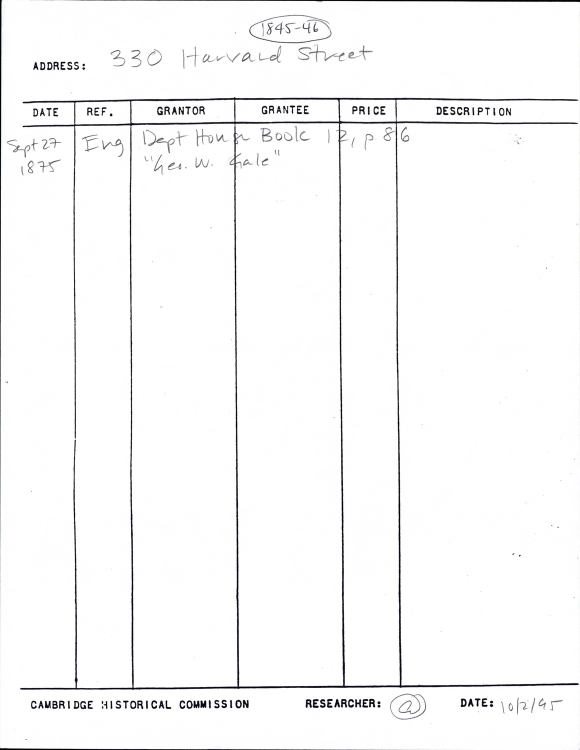
Document · 1 p.

CDASH Place:
330 Harvard St
Folder:
302-344 Harvard St Lee St to Dana St
Survey Area:
Mid-Cambridge
Folder:
302-344 Harvard St Lee St to Dana St
Survey Area:
Mid-Cambridge


Item: 330 Harvard St - Research Form
Citation:
Cambridge Historical Commission, Digital Architectural Survey and History.
Rights:
Rights status not evaluated.
Cambridge Historical Commission, Digital Architectural Survey and History (CDASH) ◆ Rights status not evaluated.
Search by value
Search by class
Searches for resources that are any of these classes.